Heading somewhere new? Want to bike there? Here’s a quick guide to finding a low-stress bike route. Depending on the distance you’re traveling, this could take anywhere from 5 minutes to half an hour, so it’s best not to leave it to the last minute.

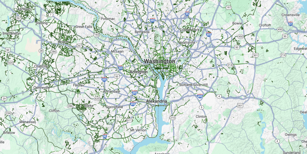
Start with the Google Maps bike layer.
Google Maps biking directions are a solid place to start your route planning. Plug in your location and your destination, and see what it spits out. It will prioritize trails and bike lanes, as well as options with fewer hills. Unfortunately, some busy roads in the region are designated as bike routes by the county or state, and Google Maps will usually recommend those if there aren’t bike lanes, even if there are quieter streets nearby.

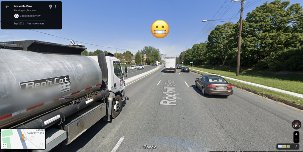
Check StreetView for roads you’re not familiar with.
Once you have a suggested route, drop the little Google StreetView guy in a few spots on roads you don’t already know. See if the road looks like somewhere you’d be comfortable riding—keep an eye out for:
- a shoulder (and whether it disappears at intersections),
- number of lanes,
- speed limits,
- and any other street design cues that affect how safe a road feels to you.
- If you’re riding a trail, check the street view at street intersections to see how safe those crossings feel.
If there are roads that look like they won’t feel safe, look back at the map and see if there are smaller, quieter streets nearby that you could ride instead.

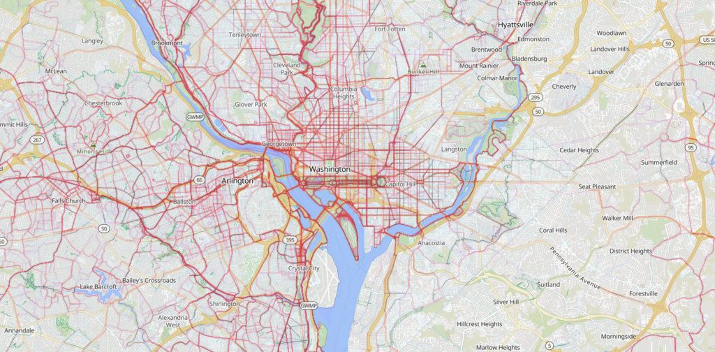
Check the app heatmaps.
Strava and RidewithGPS both offer heatmaps that show where other people ride. If you’re concerned about a particular road, or looking for a nearby alternative, you can get a good sense of how other folks navigate an area by looking at these heatmaps.
Ask around.
In addition to the official bike maps, there are lots of unofficial bike routes that people use regularly. The heatmaps described above are a good starting point, but it’s never a bad idea to ask your friends, or internet bike communities (try the #bikedc hashtag on the social media platform of your choice) for tips. Someone else has probably encountered the same routing challenge and may have already found a good solution!
Decide how you’re navigating.
You can drag and drop points on your route in Google Maps, or map it using a service like Strava or RidewithGPS. For multi-modal trips that involve bikes and trains or buses, we like Transit App. Turn by turn directions are available in all of these tools, although Strava and RidewithGPS may require a membership to use that feature. You can also write out your cues and attach them to your handlebars with a binder clip.
Take a test ride if you can.
If you have time, and getting to your destination on time is critical, it’s not a bad idea to take a test ride in advance. This can surface dicey roads, construction, disappearing bike lanes, bumpy trails, and other things that can slow you down.
Prepare for occasional disappointment.
Despite WABA’s best efforts over the last 50 years, there are still places in the region that are not easy or pleasant to access by bike, and other places that require some labyrinthine routing to navigate safely. The bike network is getting more connected every year, but if there are particular gaps in the network that are causing you trouble, shoot us an email and we’ll see if there are any projects in the works and help you start organizing other folks to speak up for improvements.
Looking for paper maps?
Paper bike maps of varying levels of usefulness are available from some regional jurisdictions. While most digital mapping tools are reasonably up to date, the rate of trail and bike lane construction in the region means that most paper maps will not be comprehensive.
- BikeArlington has an excellent Bicycling Comfort Level map of Arlington County.
- GoDCGo prints DC Bike Maps.
- GOAlex has Alexandria Bike Maps.
- Fairfax County residents can request a bike map here.
At the time of writing, neither Montgomery County nor Prince George’s County have paper bike maps available. A statewide Maryland bike map is available here.